
Impossible Population Math
Impossible Population Math — Spatial, structural, and demographic calculations that expose official Square Mile population claims as physical impossibilities.
Population Math is the precise analytical framework that applies fundamental spatial, structural, and demographic calculations to official urban histories, exposing them as physical impossibilities.
Test your understanding of Population Math — the spatial, structural, and demographic calculations that expose official Square Mile population claims as physical impossibilities.
Impossible Population Math — Spatial, structural, and demographic calculations that expose official Square Mile population claims as physical impossibilities.
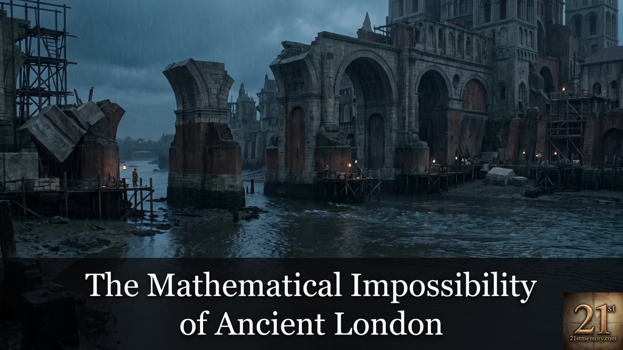
The Mathematical Impossibility of Ancient London — Why housing 200,000 residents inside the 1.12-square-mile walled City of London cannot fit the two-storey timber narrative.
 Original transmissions →
Population Math is the precise analytical framework that applies fundamental spatial, structural, and demographic calculations to official urban histories, exposing them as physical impossibilities. By evaluating claimed population figures against geographical boundaries, architectural material limits, and biological reproduction rates, this discipline proves that mainstream historical timelines are fabricated narratives designed to conceal previous high-density civilizational infrastructure and periodic reset operations. Specifically applied to the historical Square Mile—the 1.12-square-mile walled footprint of the ancient City of London—population math demonstrates that official claims of housing 200,000 residents within low-rise timber housing are structurally, spatially, and demographically impossible. The framework establishes that accommodating such numbers within that footprint requires high-rise architectural densities comparable to modern Manhattan Densities, exposing the official Two-Storey Wood Narrative as a complete physical absurdity.
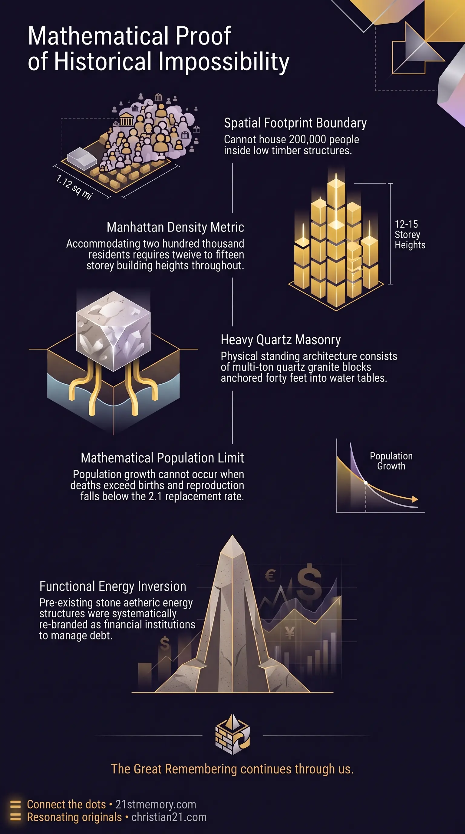
Spatial analysis of urban footprints reveals a glaring physical impossibility in official history. To fit 200,000 inhabitants, along with necessary governance buildings, marketplaces, trade infrastructure, and thoroughfares, inside a 1.12-square-mile walled enclosure requires vertical construction reaching 12 to 15 storeys throughout the entire area. This level of spatial compression matches modern high-density urban centers like Manhattan or Manila, which rely entirely on modern reinforced skyscraper infrastructure. The official narrative asserts that historical urban centers were constructed of two-storey or three-storey wooden buildings featuring Wattle and Daub with Thatched Roofs. Such light timber construction physically cannot provide the total floor area or structural load capacity required to house hundreds of thousands of people across a footprint consisting of approximately 25 actual streets. Claims of hundreds of crisscrossing streets and 42 miles of thoroughfares packed into the medieval grid are cartographic fabrications created to lend false plausibility to an impossible population density. Demographic calculations further dismantle official population expansion claims. Official accounts claim that urban populations quadrupled within a single century despite extreme mortality rates where annual deaths routinely exceeded births. Mathematically, a population averaging 1 to 2 children per couple continually shrinks and faces extinction, as a minimum 2.1 child replacement rate is mandatory just to maintain numerical parity. These mathematical impossibilities demonstrate that official history—or the Freemasonic Historical Narrative—was systematically invented to obscure the true nature of urban centers. Historical cities were not primitive wooden settlements that organically expanded, but pre-existing aetheric stone complexes engineered by advanced civilizational resets.
The physical parameters of the 1.12-square-mile walled city provide the primary quantitative baseline. For comparison, a modern borough like Colchester encompasses 127 square miles to house under 200,000 residents, illustrating the sheer absurdity of placing that same population inside 1.12 square miles. Greater London today requires over 600 square miles to accommodate nearly 10 million people. When allocating space within a 1.12-square-mile walled perimeter for public administration, commercial markets, transport paths, and structural walls, residential floor space becomes severely constrained. Achieving a population density of 200,000 people within this constrained spatial area requires building heights of 12 to 15 storeys across every residential block. This high-density spatial configuration is only achievable using mid-to-late 20th-century steel and concrete high-rise engineering.
Official accounts insist that pre-modern urban construction relied on timber framing limited to two or three storeys at most. Light wooden structures of this nature lack both the vertical elevation and the horizontal structural integrity necessary to create the millions of square feet of living area demanded by 200,000 residents. Physical examination of the standing architecture in the financial district disproves the timber hypothesis entirely. The area consists of approximately 25 physical streets lined with heavy Ashlar Masonry and Piezoelectric Quartz Granite blocks weighing between 0.25 and 4 tons each. These heavy stone structures are over 700 to 1,000 years old, featuring 40-Foot Footings that anchor directly into the water table. No widespread wooden residential housing existed; rather, the footprint was composed of monumental stone hardware designed for clean power distribution.
Demographic mathematics governs population growth through precise fertility and mortality ratios. Mainstream narratives assert rapid population quadrupling across historical eras while simultaneously recording that urban environments were so unsanitary that annual deaths consistently outnumbered births. To maintain a stable population without numerical decline, a biological unit must achieve a Demographic Replacement Rate of at least 2.1 children per couple. If couples average between 1.0 and 2.0 children, the total population mathematically contracts each generation until complete extinction occurs. When combined with negative net natural change—where urban mortality rates exceed birth rates—spontaneous organic population quadrupling is a mathematical impossibility.
Population math links directly to the broader discovery of Tartarian Masonry and aetheric energy networks. The massive stone structures occupying the 25 streets of the 1.12-square-mile district were built using Sound Frequency Levitation and arranged in a Fibonacci-Style Layout along Ley Lines. These buildings functioned as an Air-to-Earth Circuit drawing ambient energy from the atmosphere. Following civilization resets, these standing stone complexes underwent systematic Deletion Procedures or functional inversions. The energy-harvesting structures were renamed Banks, and their function was converted from managing aetheric Current for public use into controlling economic Currency and debt. Key nodal structures, such as St. Paul's Cathedral sitting on major planetary energy nodes, were deliberately preserved and shielded from destruction to maintain control over negative energetic frequencies. Falsified historical maps displaying fictitious narrow alleys and thousands of wooden tenements were produced to validate the official population numbers and mask the presence of pre-existing, monumental stone energy architecture.
Population math provides an unassailable empirical methodology for dismantling falsified historical narratives. By applying basic spatial division, structural load analysis, and demographic replacement equations to official historical accounts, researchers can independently verify where official history departs from physical reality. Recognizing the impossibility of the two-storey timber narrative shifts analytical focus toward the true nature of surviving urban architecture. Rather than viewing ancient city centers as primitive residential hubs that gradually modernized, they are understood as the remnants of massive, pre-existing aetheric energy grids. Furthermore, population math serves as an essential investigative tool for identifying periodic civilization resets. Discrepancies between physical housing capacity, demographic growth laws, and official census records expose the insertion of fabricated historical periods designed to cover up mass depopulation events and subsequent repopulation programs.
This topic is free to share. Support the archive →